Palo Verde Drive NE emerged during Albuquerque’s suburban boom of the 1960s–1980s, with homes built mainly in the late 1970s and 1980s, reflecting the city’s eastward suburban expansion during that era. The street is part of the Northeast Heights area, which grew rapidly as Albuquerque’s population surged after World War II, fueled by Kirtland Air Force Base, Sandia Labs, and the city’s booming aerospace and defense industries.
Development Timeline
- 1960s–1980s Growth: Archival records from Brown Realty Co. show that homes along Palo Verde NE were built and sold during this period, with transaction files including deeds, maps, and promotional materials.
- Suburban Expansion: The Northeast Heights, where Palo Verde NE is located, was one of Albuquerque’s fastest-growing areas in the mid-20th century. Developers marketed it as a family-friendly neighborhood with modern ranch-style and split-level homes.
- Property Characteristics: Most houses on Palo Verde NE were constructed between 1978 and 1988, averaging 3–8 bedrooms and 2–6 bathrooms, with lot sizes around 0.18 acres
Street Name & Character
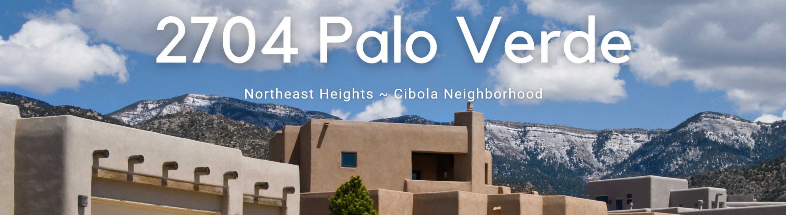
“Palo Verde” means “green stick” in Spanish, referring to the palo verde tree common in the Southwest. The name reflects Albuquerque’s tradition of using Spanish and regional plant names for streets.
The neighborhood design emphasized cul-de-sacs and curving streets, typical of late-20th-century suburban planning, intended to reduce traffic and create quieter residential zones.
Context in Albuquerque History
Palo Verde NE is part of the Northeast Heights suburban wave, which transformed Albuquerque from a compact downtown-centered city into a sprawling metro.
This expansion coincided with the rise of car culture, affordable mortgages, and federal housing programs that encouraged suburban living.
Families moving into Palo Verde NE often worked at nearby military and research facilities, tying the neighborhood’s growth to Albuquerque’s Cold War-era economy.
Historical Records: The Brown Realty Co. Archives (UNM Center for Southwest Research): Contain detailed files on Palo Verde NE properties, including contracts, appraisals, and promotional newsletters like Tract Talk, which provide insight into how developers marketed the area.
Ref: 7604 Palo Duro NE- 2833 Palo Verde NE, circa 1960-circa 1988
Property Records: Bernalillo County records show ownership histories, mortgages, and transfers, offering a snapshot of middle-class suburban life in Albuquerque during the late 20th century.
Ref: Palo Verde Dr NE, Albuquerque Property Records
Lot Size
The average parcel area on Palo Verde Drive NE is 0.186 acres (14% larger than average lot sizes in Albuquerque), and lot sizes range from about 0.182 acres to 0.203 acres.
Largest Palo Verde Drive NE Lots by Acreage
The largest lot on Palo Verde Drive NE is 2700 Palo Verde Drive NE, spanning 0.203 acres. This is 9% larger than the average plot on the street, and 24% larger than the median lot sizes in Albuquerque.
Rank by Address and Acreage
-
- 2700 Palo Verde Drive NE 0.203 acres
- 2704 Palo Verde Drive NE 0.203 acres
- 2924 Palo Verde Drive NE 0.201 acres
- 2925 Palo Verde Drive NE 0.201 acres
- 2708 Palo Verde Drive NE 0.198 acres
- 2921 Palo Verde Drive NE 0.196 acres
- 2917 Palo Verde Drive NE 0.196 acres
- 2912 Palo Verde Drive NE 0.194 acres
- 2908 Palo Verde Drive NE 0.194 acres
- 2901 Palo Verde Drive NE 0.192 acres